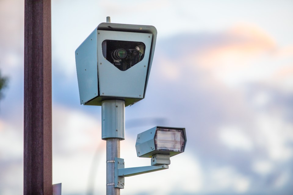
The Calgary Police Service (CPS) have announced where it will focus its photo radar efforts for the month of July.
According to a press release by CPS, Barlow Trail, Crowchild Trail, Glenmore Trail, and Memorial Drive were selected for mobile photo radar based on statistical analysis, collisions, and citizen concerns.
Enforcement will focus on the communities of Acadia, Altadore, Alyth/Bonnybrook, Auburn Bay, Beltline, Cedarbrae, CFB Lincoln Park, Dover, East Shephard Industrial, Forest Lawn, Forest Lawn Industrial, Glendale/Killarney/Glengarry, Lakeview, Mahogany, Manchester Industrial, Marlborough (Park), Marlborough/Forest Heights, Meadowlark Park, North Glenmore Park, Oakridge, Ogden, Palliser, Pump Hill, Ramsay, Richmond, Rundle, South Calgary, South Foothills Industrial, Spruce Cliff, Sunalta, Temple, Upper Mount Royal, Whitehorn, and Windsor Park.
This is in addition to 50 Intersection Safety Cameras (ISC) throughout the city. These cameras can photograph vehicles entering the intersections during all phases of the signal, including red light infractions.
The speed on green initiative uses up to 28 of these ISC locations to capture vehicles that speed through green and yellow lights. Speeding fines are calculated based on how fast drivers are travelling over the limit. Speeds in excess of 50 km/hr over the speed limit result in an appearance before a judge.
CPS claims in the press release that these cameras reduce collisions and foster safer driving.
A full map of intersection cameras can be viewed at https://maps.calgary.ca/PublicSafety/


